Sunday, April 20, 2014

Into Africa

After what seems like days of travel, we arrived in Johannesburg and were transferred to our Guest House lodgings.  It was dark and disorienting, but we awoke to find very plesasant gardens and friendly hosts.


We know we are going to see plenty of the African bush and wild animals, so we wanted to make this day in Joburg about the people side of Africa.  We want to check out the neighborhood, mingle with the people.  
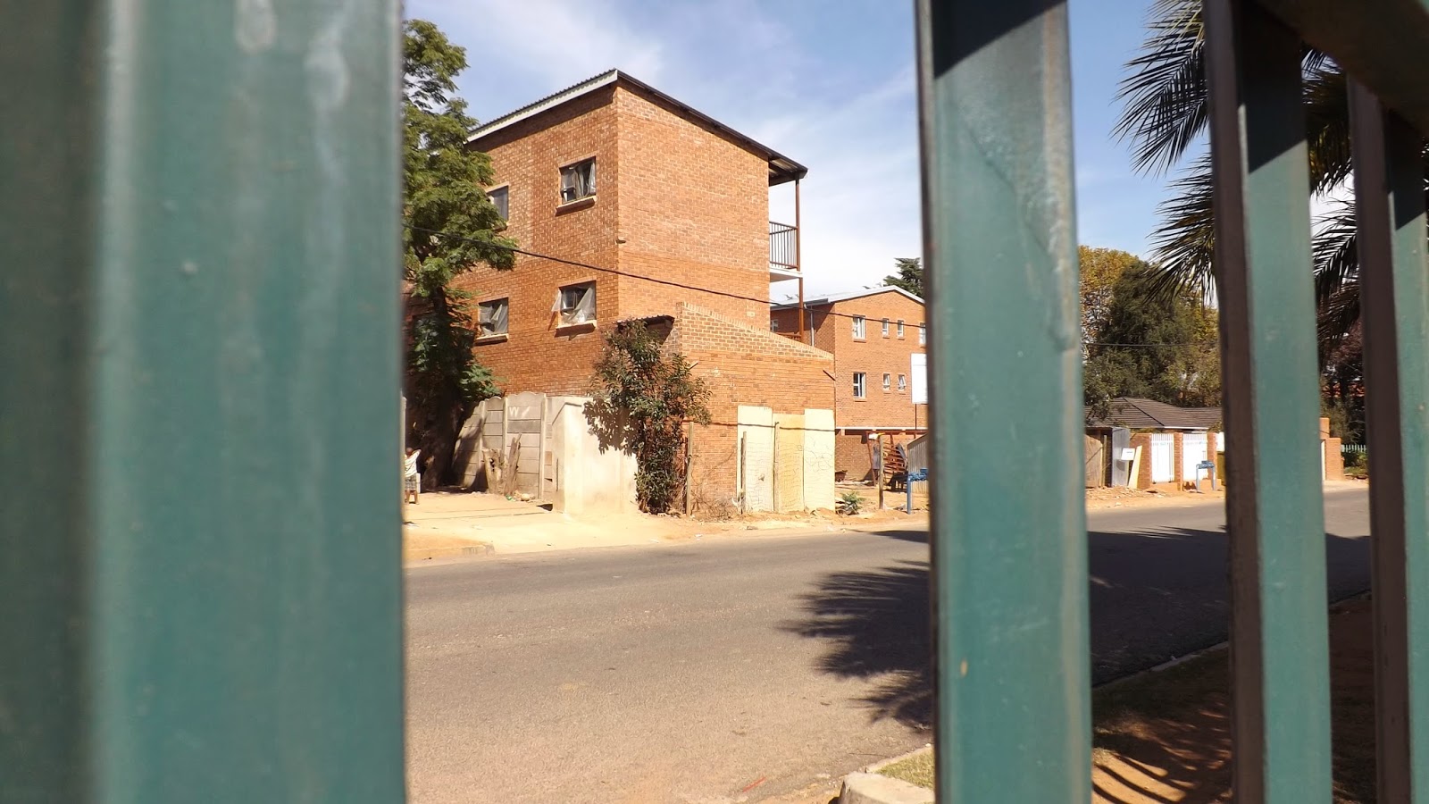


Our host suggested we shouldn't wander too far beyond the heavily fortified confines of the Guest House property, so we opted instead for a guided tour of some of the city highlights, such as the black township of Soweto, Nelson Mandela's house, city center and the Apartheid Museum


Soweto the South West Township or black homeland, was one of many segregated black lands the white separatist government moved colored and black citizens to create all white neighborhoods and suburbs.  Today Soweto is home to over 5 million people, with furious home building and infrastructure projects launched since the end of apartheid in 1994.
Soweto still reflects a mix of rural and high density housing.


Father Danny tells Susan about the police tactics, used to break up black gatherings, including gunfire in the  church; the only place blacks were allowed to gather in groups numbering more than two persons.


Our tour guide Ishmael.


Mandela's Soweto home from the early 1960s.


Interior of Madela's house.


Portrait of Nelson Mandela.


Joburg is an contrast in the old and new.  Urban and rural.  Above the Futbol stadium from the 2006 World Cup, below the hollowed out courthouse in city center.


All around Joburg are signs of its mining history.  The discovery of gold in 1886 attracted hundreds of thousands of men from all over Africa and the indian subcontinent to work the mines, triggering a century of ever more repressive laws/controls on where workers/non-whites could live and who they could associagte with.
Entrance to Aparteid Museum. The compartments to the left are to symbolie the ore brought above ground by generations of miners, the pictures of travelers mounting the ramp symbolize the many faces and ethnicity ofpersons climbing to equality.  The museum was a tour de force explaining the conflicts from pre-history to the end of apartheid between all men, of all cultures to peaceably settle Africa.  It deserves more narrative, but our flight departs soon and I must put this to bed.    


Simulation of Nelson Mandela's cell on Robbins Island.


Johannesburg a city both modern, and striving to be modern; growing and struggling to accommodate that growth.  A fantastic start to this trip.

Monday, April 14, 2014

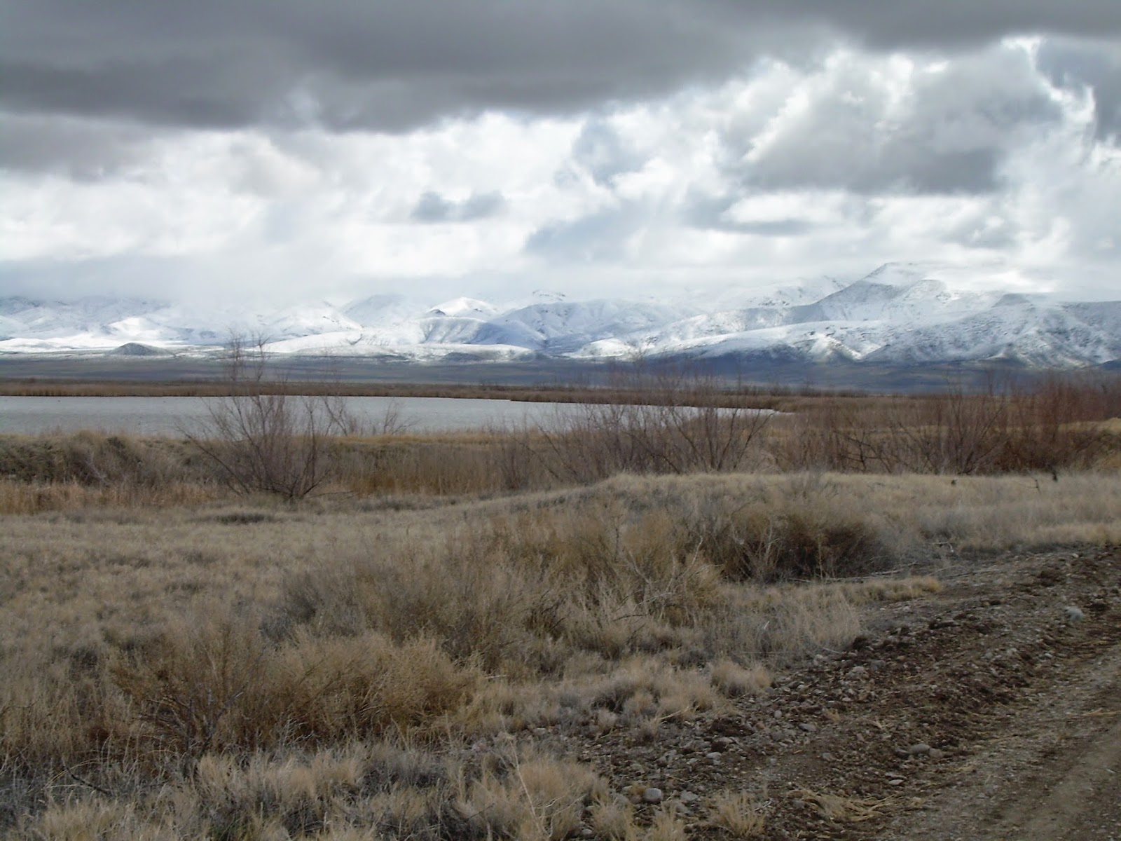
Nevada, late March. Just about every kind of weather imaginable


Mid-March, I had an idea for one last outing before we leave for Africa.  Let's see what this crazy winter is doing to the desert east of Reno, Nevada.  After all, we were having near record high temperatures and no rain on our side of the Sierra Nevada mountains -- why not check out the drier side?


I sprung the idea of introducing our friends Daryl and Vicki Maddox to boondocking over dinner one night.  I don't know if it was the champagne Daryl kept pouring, cabin fever or the call of the wild, but Daryl and Vicki were enthused and didn't hesitate a minute to agree to go.


The plan was for Daryl and Vicki to rent an RV in Reno and together we would head to Stillwater National Wildlife Refuge near Fallon, Nevada for two days and then move on to Dixie Valley, 60 miles east of Fallon, truly in the middle of nowhere.

It was a good plan at the time, days of near 80 degrees, perfect warm evenings for sitting out and hopefully enjoying the stars, migrating birds swarming all over the NWR.  Ha!  Did any of the actors in this play read the script?  A storm moved in the day before our planned departure.  Chain controls on I-80, snow in the forecast for the Fallon area.  We hoped for the best and plunged on.


We did make it over Donner Pass.  We checked in at the NWR HQ office and were informed we would likely have the Refuge to ourselves.  We found the only pond in Stillwater with any water in it.  Don't know if Daryl is looking for more water or wine?


We discovered white pelicans were plentiful, almost as plentiful as the white wine we brought.


The Refuge information specialist told us where to camp, a scraped off area near the only two ponds with water.  It was flat, and we did have it all to ourselves.


Within minutes of arrival, we had camp established and the fun began.


Daryl and Vicki were really having fun as were we.  None of us minded having to scramble to break camp when the first snow squall rolled in.


We awoke to snow all the way down to the valley floor.  And a trecherous road on the drive out.


Another empty Stillwater pond.


We figured the day would improve as we moved over to Dixie Valley.  And it did, we had this immense valley all to ourselves.  


The pavement ended 25 miles after leaving Highway 50 and we only seemed to just reach the center of everything/nothing.  The valley is littered with small clumps of trees which were probably once homesteads.  We worked our way towards one promising looking stand of cottonwoods, hoping for a good place to set up camp.  A maze of gravel roads crisscross the valley and we did see two or three ranch complexes, but otherwise there didn't appear to be another person within fifty miles.


Daryl liked the idea of having Dixie Valley to himself.


The Casita (white spec) tucked in among the cottonwoods.  Anticipating the gathering storm, our nightly rain/snow squall.


The valley floor was littered with tracked vehicles, which according to my friend Jim Napier USMC retired, are most likely there for Maverick missile targeting.  The vehicle above is an air to ground missile targeting radar platform with anti-aircraft gun.


The next day, under clear skies, we were startled frequently by F-18s from Fallon Naval Air Station running mock strafing missions.


We accomplished our mission!  Daryl and Vicki think they like the RVing lifestyle and want to do it again.  There is so much more to explore in Dixie Valley we know we want to take another run over there when we get back from Africa.  We managed not to run out of water at this dry campsite, nor run out of wine.  What more could you ask for.  And despite a heavy snow over I-80 on the day we headed home, we made it safely over the mountains and have tucked the Casita into storage until yet another day. 


Pinnacles National Park: Extreme Drought -- Supreme Birding

We winterized and put the Casita away in late November.  December brought some cold weather, very little rain and then it turned incredibly warm.  Who could stay home with January days pushing north of 70 degrees.  So we loaded up the Casita and headed for Pinnacles National Park, located in the Coast Range south of Monterey, California.  Turns out Pinnacles is also the epicenter of some of the most extreme drought impacted parts of California.


The decomposing granite of Pinnacles' spires are remnants of a volcano that erupted 23 million years ago in what was then Los Angeles county.  Pinnacles is on the western side of the San Andreas fault and has moved north over 200 miles since.  In the background is the the escarpment of the San Andreas fault. 


The high country was considered the perfect place to reintroduce the endangered California Condor, the largest bird in North America.  It is definitely worth the climb to the high peaks to glimpse this magnificent bird.


We watched a pair of condors wheel and soar on the afternoon thermals.  On another day we were thrilled to see ten of the huge birds riding high over the Pinnacles.  A ranger told us that a total of 50 condors have been released between Big Sur and Pinnacles.  They move freely between their two mountain aeries.  

Everywhere you look the scenery cries out for water.  Dry, scraggly leafless plants seem to claw at the air, pleading for a drink, in what is supposed to be the wet season.


Susan found little more than a pond in what is supposed to be a major source of Pinnacles' water supply.  What water there is flows down the mountain into a tributary of the San Benito river, which runs through the campground in the center of the Park.  In this dry year, that water source attracts every bird for miles around.  Birding along the creek was excellent, we added several birds to our life list.  A flock of about 200 California Quail showed up outside the Casita every morning, crowing and clucking their amusing song.


Just a trickle seeped through this fern grotto.


We thoroughly enjoyed our visit to Pinnacles and would recommend it to anyone interested in hiking or birding.


Big Horn Canyon National Recreation Area

Imagine viewing wild horses directly descended from the Spanish conquistadors, camping in your choice of two rugged mountain ranges and watching golden eagles soaring in the 1,000 foot deep Big Horn gorge.  All this and several hundred square miles of wild west geography to enjoy all to yourself.


Straddling the Montana/Wyoming border, the Big Horn National Recreation area and adjoining Pryor Mountain Wild Horse Refuge have so much to offer to anyone visiting Yellowstone National Park or traversing Wyoming on your way to the Black Hills.  Especially recommend the Horseshoe Bend Camp Ground on Highway 37 near the entrance to the Horse Sanctuary.  Beautiful location overlooking Big Horn Reservoir with water and power hook ups for a very modest price.


Identifying Big Horn NRA as located in Ft. Smith, Montana is misleading.  For the horses and Big Horn reservoir you want to head for Lovell, Wyoming, about one hour east of Cody, Wyoming.

Happy Canadian Thanksgiving, Hey!

This post was actually written in October, 2012 and languished until now.  Hope it is still meaningful.

Here we are well into October and we are still enjoying summer-like weather.  Daytime temperatures in the 80s and occasionally 90s.  Memories of our maiden voyage in the Casita firmly in mind, we couldn't wait to take to  the road again.  

A big reason we purchased the Casita is that it is well suited to primitive, end of the road type of camping.  I have great memories of family camping trips to an out of the way spot in the eastern Sierra , Nevada, just south of Bridgeport California (approximately 100 miles south of Reno) down Highway 395.


First night out we camped beside Bridgeport Lake, severely depleted by the irrigation season following the very low snowfall of last winter.  (And considering we are now (2014) into the third year of drought there may not be a lake by mid-summer.


We were treated to a great technicolor sunset over Bridgeport Lake.
We climbed up out of the cow pastures of Bridgeport to the high country in the Green Creek drainage.  We ascended from the sage brush desert into alpine terrain bursting with the autumn blaze of aspen groves.
 

Our destination was the glaciated upper reaches of Green Creek valley, a four mile long, fairly flat valley with primitive boondocking campsites free for the taking.  Our timing turned out to be perfect.  Not only were the aspen in full flame, the valley was lightly populated and we encountered campers who intended to prepare a full-fledge feast to celebrate Canadian Thanksgiving and we were invited. 

We were guided into a stretch of the valley floor rich in campsites by a trio of campers down from Carson City for an extended weekend and Thanksgiving celebration.  Mia and Tom, in a ruggedized pop up trailer and Laurie Karn in her 30 footer had set up a very comfortable camp at a bend in the creek.    


We parked the Casita with a great view of Green Creek from the dinnette window (backside) and this view of the Green Creek valley out the front door...  


Susan and Laurie Tarn enjoy post-Thanksgiving morning after.

Laurie Tarn hails from Canada originally, hey?!  She taught us that Canadian Thanksgiving is the second Monday in October and she plans to be bookdocking at Green Creek preparing turkey and all the trimings every year.  You come on down (or rather up) hear?